
Jonathan Clark Fine Books
Art and Architecture
Back
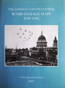

SAUNDERS, Ann (editor).
The London Council County Bomb Damage Maps 1939-1945.
London, London Topographical Society and London Metropolitan Archives, 2005.
£195
EnquireFolio (365 x 262 mm). Teal cloth, photo-illustrated dust jacket; vi, 25pp. + 110 colour printed maps, the majority double page, nine colour and b/w figures within the preceding text; the dust jacket very light creased and the spine lightly sunned otherwise a very bright copy.
LTS Publication No. 164. Introduction by Dr. Robert Woolven. Covering the whole of the London County Council area the original maps, now preserved in London Metropolitan Archives, are large, approximately 22 by 40 inches but have been reduced for publication to the scale of approximately 11½ inches to the mile.
Stock number: 1584